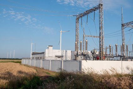
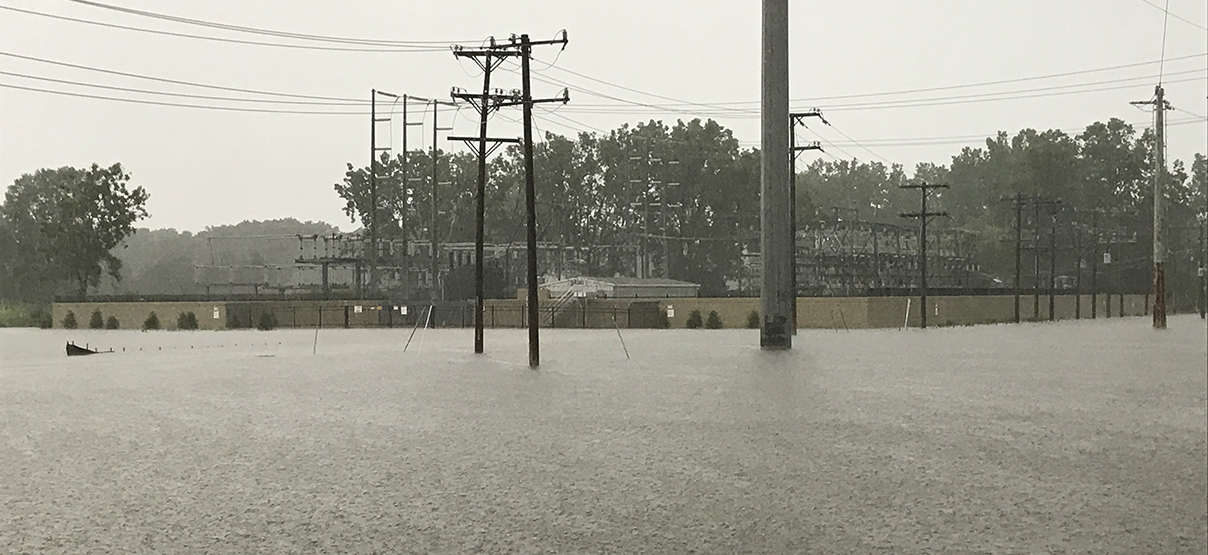
This large undertaking involved two phases of data collection, analysis and assessment of flood risk at over 800 substations and critical facilities within the Commonwealth Edison (ComEd) territory.
During the Phase 1 analysis, Primera overlaid the substation geographic data with the Federal Emergency Management Agency (FEMA) and local County flood hazards in a Geographic Information System (GIS). Primera developed a model in ArcGIS and quantified the flood hazard that any intersecting substations faced in four levels of risk: High, Moderate to High, Moderate and Low. Primera provided ComEd with a list of all substations with these risk levels identified, alongside a report recommending next steps in refining the analysis and planning of a flood mitigation program.
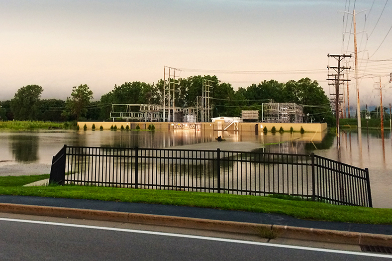
Subsequently, ComEd moved forward with Primera’s recommendations and the project proceeded into the Phase 2 analysis stage. Among other steps, this more detailed analysis required Primera to perform additional visual inspections of the areas to identify the impact that flooding would actually have at the sites. The final deliverable of this Phase was a prioritized list with recommendations on next steps to take mitigation action at the highest risk substations.